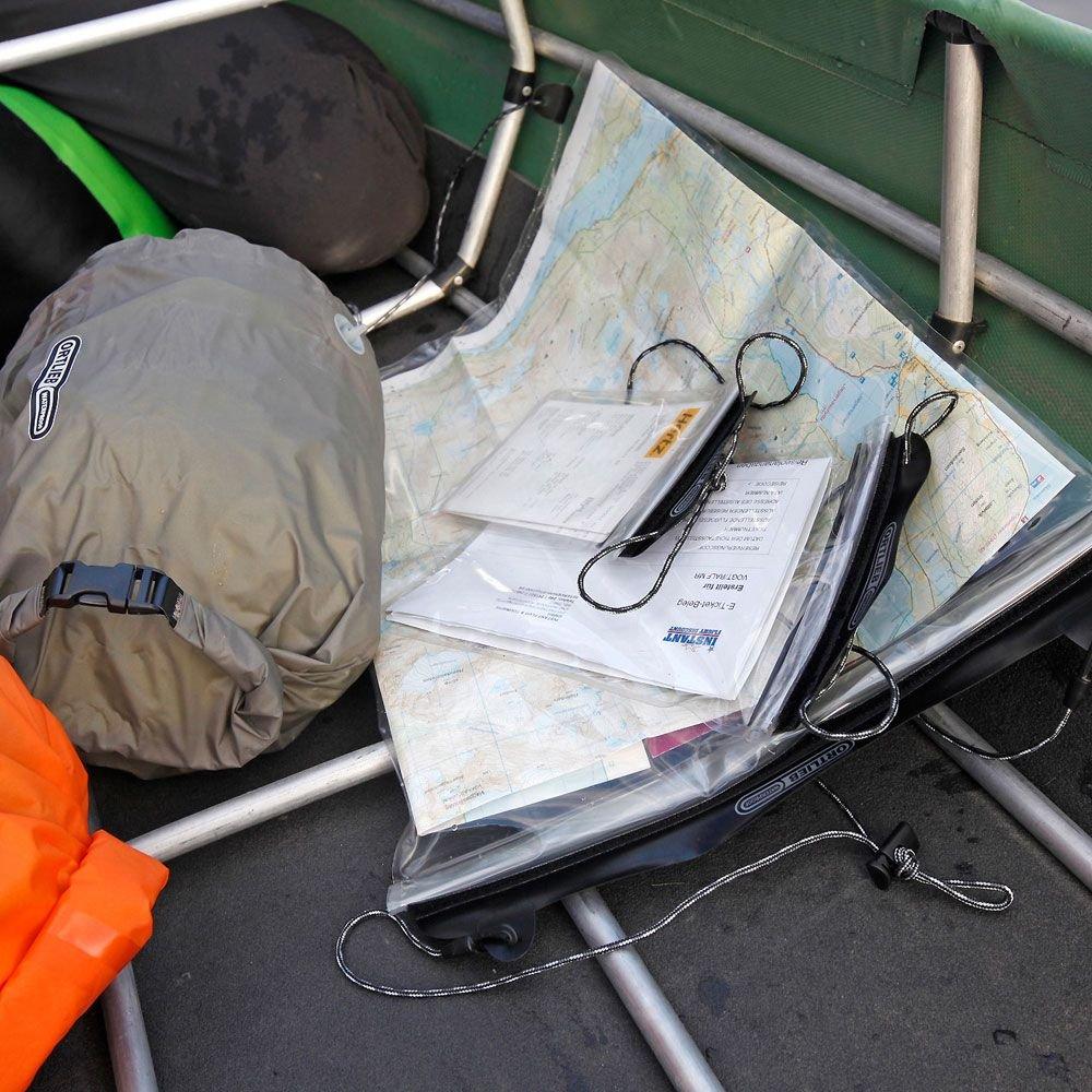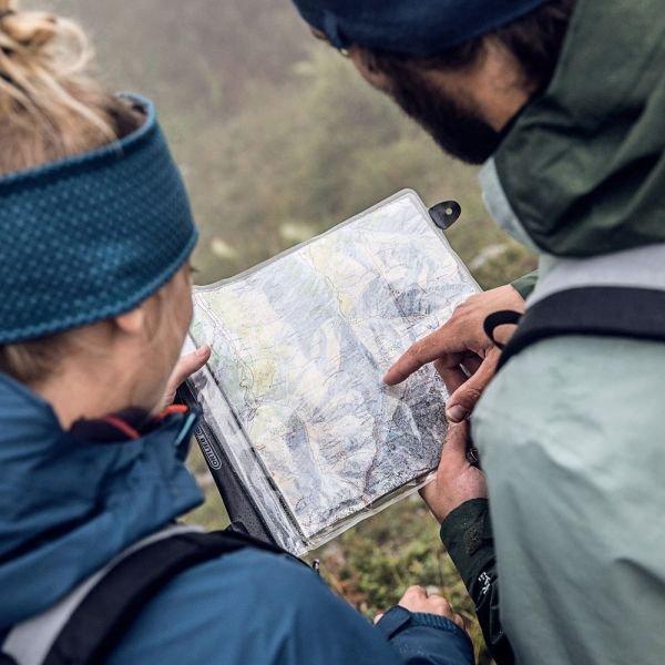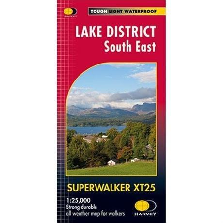
Lake District South East - 1:25,000
Detailed map for hillwalkers of the south eastern area of the Lake District National Park at the popular 1:25,000 scale.
The map has Lake Windermere in the centre, and covers Ambleside, Kendal and Coniston. Includes the superb mountain biking area of Grizedale Forest.
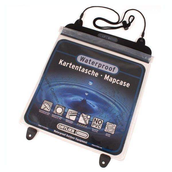
- Tough, light, durable and 100% waterproof
- Genuine, original, HARVEY mapping
- Includes Rights of Way
- Opens directly to either side of the sheet
- Easy to re-fold
- Scale: 1:25,000
- Ratio: 4cm = 1km
- Flat size: 1392 x 486mm
- Folded size: 116 x 243mm
- Weight: 60gms
- Area of mapping: 670sqkm
- Double sided
Detailed map for hillwalkers of the south eastern area of the Lake District National Park at the popular 1:25,000 scale.
The map has Lake Windermere in the centre, and covers Ambleside, Kendal and Coniston. Includes the superb mountain biking area of Grizedale Forest.
- Tough, light, durable and 100% waterproof
- Genuine, original, HARVEY mapping
- Includes Rights of Way
- Opens directly to either side of the sheet
- Easy to re-fold
- Scale: 1:25,000
- Ratio: 4cm = 1km
- Flat size: 1392 x 486mm
- Folded size: 116 x 243mm
- Weight: 60gms
- Area of mapping: 670sqkm
- Double sided
Original: $21.25
-65%$21.25
$7.44Description
Detailed map for hillwalkers of the south eastern area of the Lake District National Park at the popular 1:25,000 scale.
The map has Lake Windermere in the centre, and covers Ambleside, Kendal and Coniston. Includes the superb mountain biking area of Grizedale Forest.
- Tough, light, durable and 100% waterproof
- Genuine, original, HARVEY mapping
- Includes Rights of Way
- Opens directly to either side of the sheet
- Easy to re-fold
- Scale: 1:25,000
- Ratio: 4cm = 1km
- Flat size: 1392 x 486mm
- Folded size: 116 x 243mm
- Weight: 60gms
- Area of mapping: 670sqkm
- Double sided