✨ New Arrivals Just Dropped!Explore
1 / 2
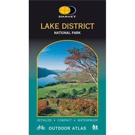
Lake District Outdoor Atlas
Maps of the whole of the Lake District National Park in one handy book.
Waterproof for outdoor use. Saddle stitched and continuous across the central spine for ease of use with a compass
- 1:40,000
- Shows public footpaths and bridleways.
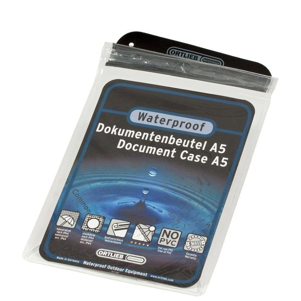
- Waterproof
Maps of the whole of the Lake District National Park in one handy book.
Waterproof for outdoor use. Saddle stitched and continuous across the central spine for ease of use with a compass
- 1:40,000
- Shows public footpaths and bridleways.
- Waterproof
$4.64
Original: $13.26
-65%Lake District Outdoor Atlas—
$13.26
$4.64Description
Maps of the whole of the Lake District National Park in one handy book.
Waterproof for outdoor use. Saddle stitched and continuous across the central spine for ease of use with a compass
- 1:40,000
- Shows public footpaths and bridleways.
- Waterproof